
Spirit Spot 5 Level 1A
SPOT 5 stereoscopic survey of Polar Ice.Les objectifs du projet SPIRIT étaient de constituer une importante archive d’images Spot 5 HRS sur les glaces polaires et, pour certaines régions, de […]

SPOT 5 stereoscopic survey of Polar Ice.Les objectifs du projet SPIRIT étaient de constituer une importante archive d’images Spot 5 HRS sur les glaces polaires et, pour certaines régions, de […]

The Spot World Heritage Service opened in June 2015 with the first dataset about France. Two large areas are covered, between 1986 and 2015 : Multispectral images covering metropolitan France […]

Le produit SWH 1A correspond au produit historique SPOT scène 1A au format DIMAP (GeoTIFF + métadonnées XML). Il s’agit du premier produit image avec une correction radiométrique qui égalise […]

The Spot World Heritage Service opened in June 2015 with the first dataset about France. Two large areas are covered, between 1986 and 2015 : Multispectral images covering metropolitan France […]
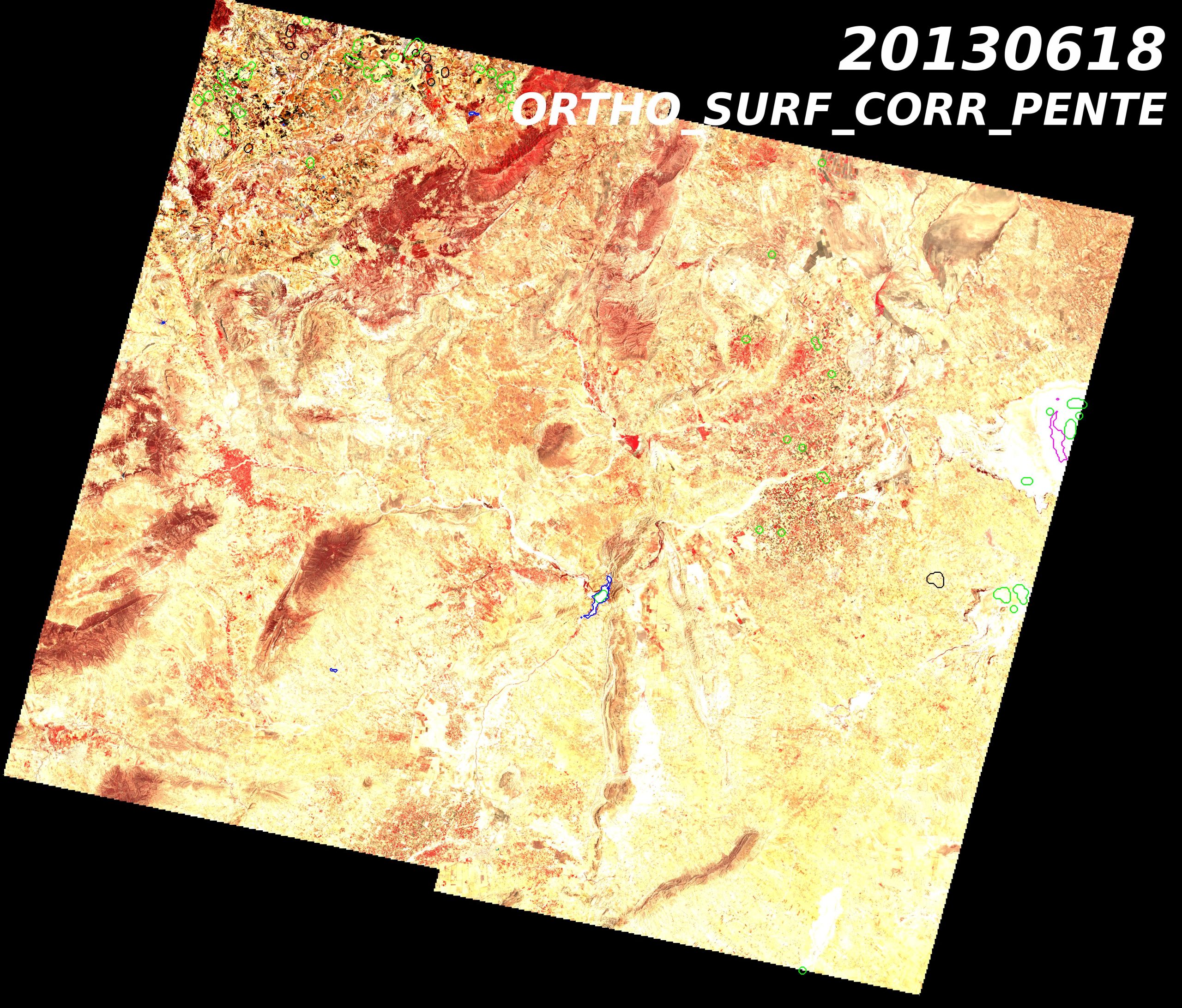
At the end of life of each satellite, CNES issues a call for ideas for short-term experiments taking place before de-orbiting the satellite. In 2012, CESBIO seized the opportunity to […]

Le produit SWH 1A correspond au produit historique SPOT scène 1A au format DIMAP (GeoTIFF + métadonnées XML). Il s’agit du premier produit image avec une correction radiométrique qui égalise […]
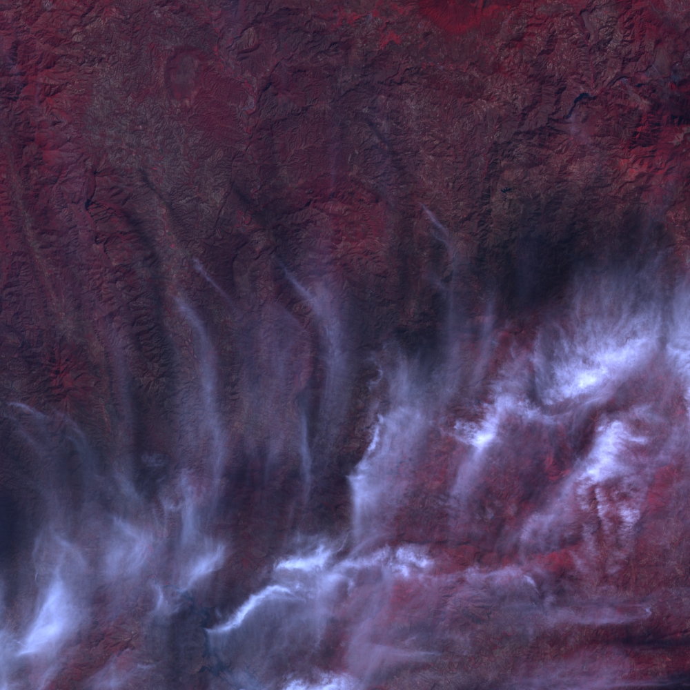
Le produit SWH 1A correspond au produit historique SPOT scène 1A au format DIMAP (GeoTIFF + métadonnées XML). Il s’agit du premier produit image avec une correction radiométrique qui égalise […]

QUANTICA Occitanie vise à quantifier le stockage additionnel de carbone dans les sols agricoles, un levier essentiel pour réduire les émissions de gaz à effet de serre. Le projet est […]
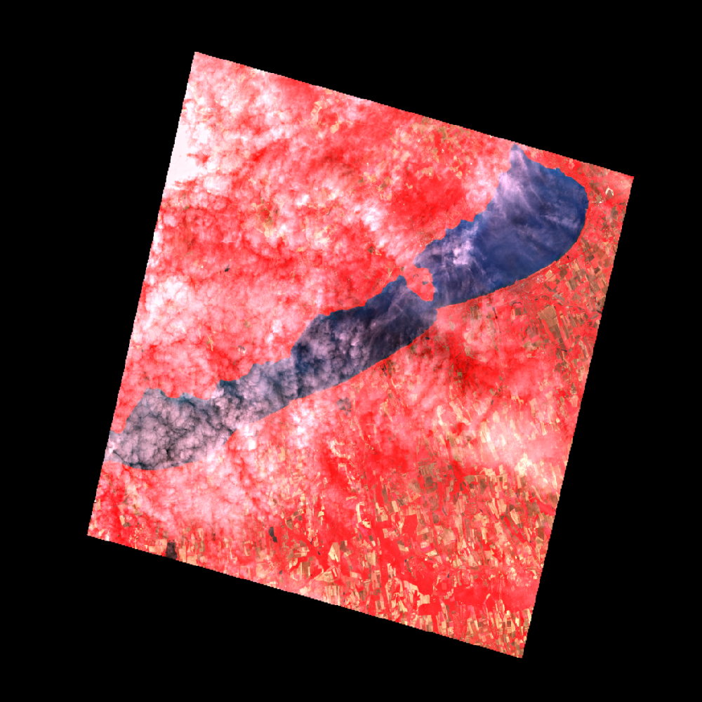
At the end of life of each satellite, CNES issues a call for ideas for short-term experiments taking place before de-orbiting the satellite. Based on the success of SPOT4 (Take5), […]
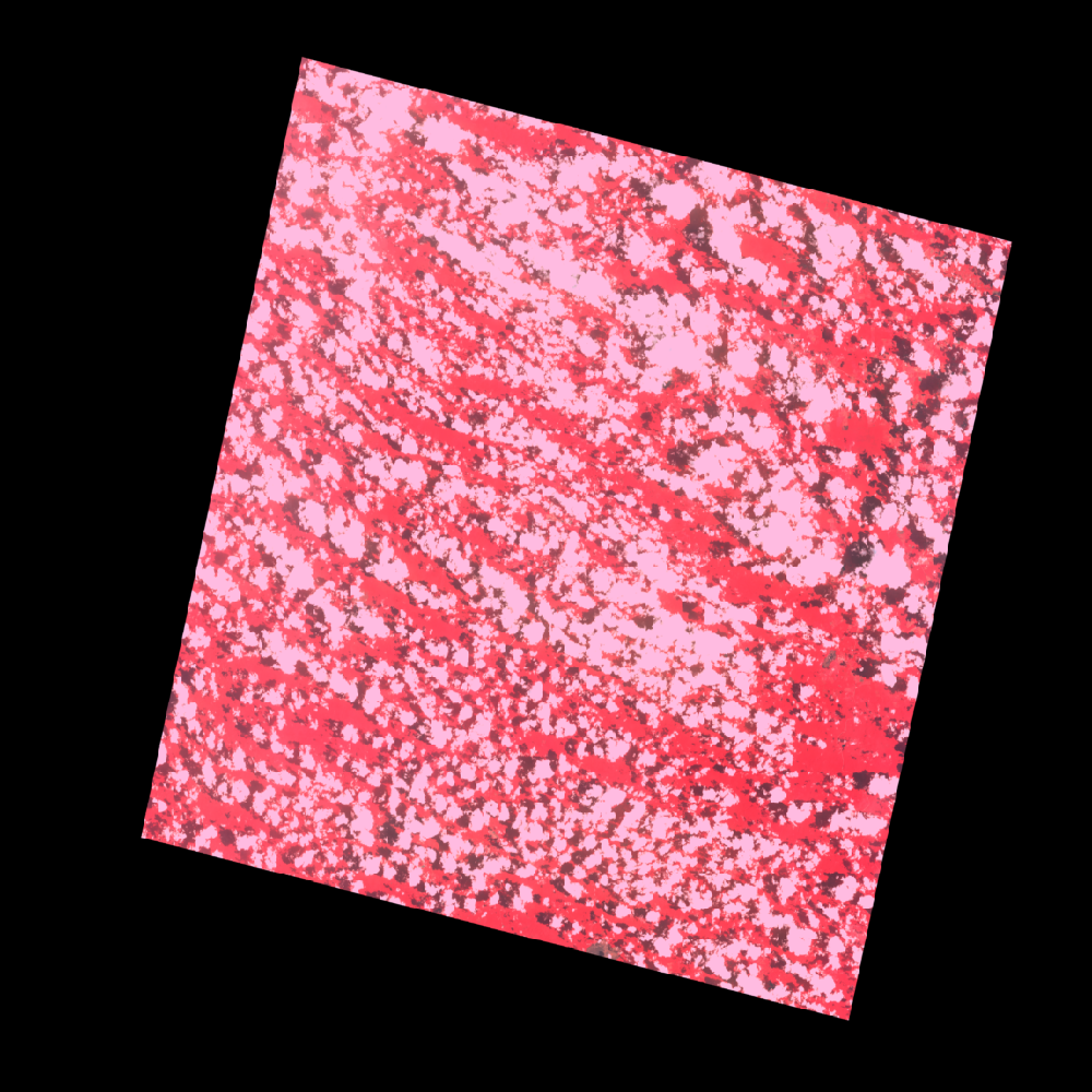
At the end of life of each satellite, CNES issues a call for ideas for short-term experiments taking place before de-orbiting the satellite. Based on the success of SPOT4 (Take5), […]
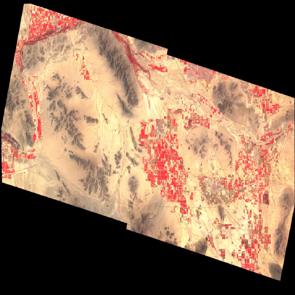
At the end of life of each satellite, CNES issues a call for ideas for short-term experiments taking place before de-orbiting the satellite. In 2012, CESBIO seized the opportunity to […]