OSO (Occupation des Sols ) VECTOR L3B
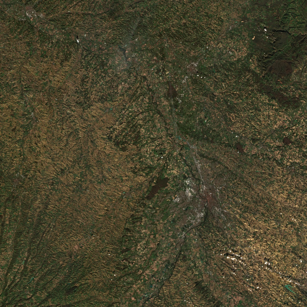
Main characteristics of the OSO Land Cover product : Production of national maps (mainland France) Nomenclature with 17 classes (2016, 2017) and 23 classes since 2018, spatial resolution between 10 […]

Main characteristics of the OSO Land Cover product : Production of national maps (mainland France) Nomenclature with 17 classes (2016, 2017) and 23 classes since 2018, spatial resolution between 10 […]
The products of level 3A provide a monthly synthesis of surface reflectances from Theia’s L2A products. The synthesis is based on a weighted arithmetic mean of clear observations. Plus d’informations […]
The main objective of the Sentinel-3 mission is to measuresea surface topography, sea and land surface temperature, and ocean and land surface colour with high accuracy and reliability to support […]
Sentinel-1 Level-1 products are the baseline products for the majority of users from which higher levels are derived. From data in each acquisition mode, the Instrument Processing Facility (IPF) generates […]

A Sentinel-2 Level-1C Collection 1 product provides orthorectified Top-Of-Atmosphere (TOA) reflectance, with sub-pixel multispectral and multitemporal registration accuracy. Technical quality masks, cloud and land/water are included in the product. The […]

Sentinel-1 Level-2 consists of geolocated geophysical products derived from Level-1. There is only one standard Level-2 product for wind, wave and currents applications – the Level-2 Ocean (OCN) product. The […]
The level 2A products correct the data for atmospheric effects and detect the clouds and their shadows.Data is processed by MAJA for THEIA land data center Plus d’informations https://www.cesbio.cnrs.fr/multitemp/sentinel-2/theias-sentinel-2-l2a-product-format/#English Caractéristiques […]

QUANTICA Occitanie vise à quantifier le stockage additionnel de carbone dans les sols agricoles, un levier essentiel pour réduire les émissions de gaz à effet de serre. Le projet est […]