Sentinel-3 Level 1
The main objective of the Sentinel-3 mission is to measuresea surface topography, sea and land surface temperature, and ocean and land surface colour with high accuracy and reliability to support […]
The main objective of the Sentinel-3 mission is to measuresea surface topography, sea and land surface temperature, and ocean and land surface colour with high accuracy and reliability to support […]
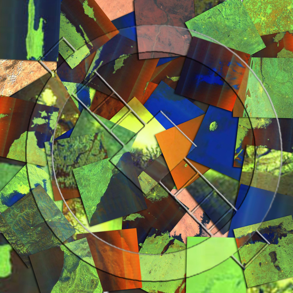
Sentinel-1 Level-1 products are the baseline products for the majority of users from which higher levels are derived. From data in each acquisition mode, the Instrument Processing Facility (IPF) generates […]

A Sentinel-2 Level-1C Collection 1 product provides orthorectified Top-Of-Atmosphere (TOA) reflectance, with sub-pixel multispectral and multitemporal registration accuracy. Technical quality masks, cloud and land/water are included in the product. The […]

Sentinel-1 Level-2 consists of geolocated geophysical products derived from Level-1. There is only one standard Level-2 product for wind, wave and currents applications – the Level-2 Ocean (OCN) product. The […]

Ce projet vise à caractériser la distribution spatiale et temporelle de la déformation dans la région de la dépression Afar. Il s’agit de mieux comprendre la tectonique grande échelle (localisation […]

Ce projet vise à caractériser la distribution spatiale et temporelle de la déformation dans la région de la dépression Afar. Il s’agit de mieux comprendre la tectonique grande échelle (localisation […]

Ce projet vise à caractériser la distribution spatiale et temporelle de la déformation dans la région de la dépression Afar. Il s’agit de mieux comprendre la tectonique grande échelle (localisation […]
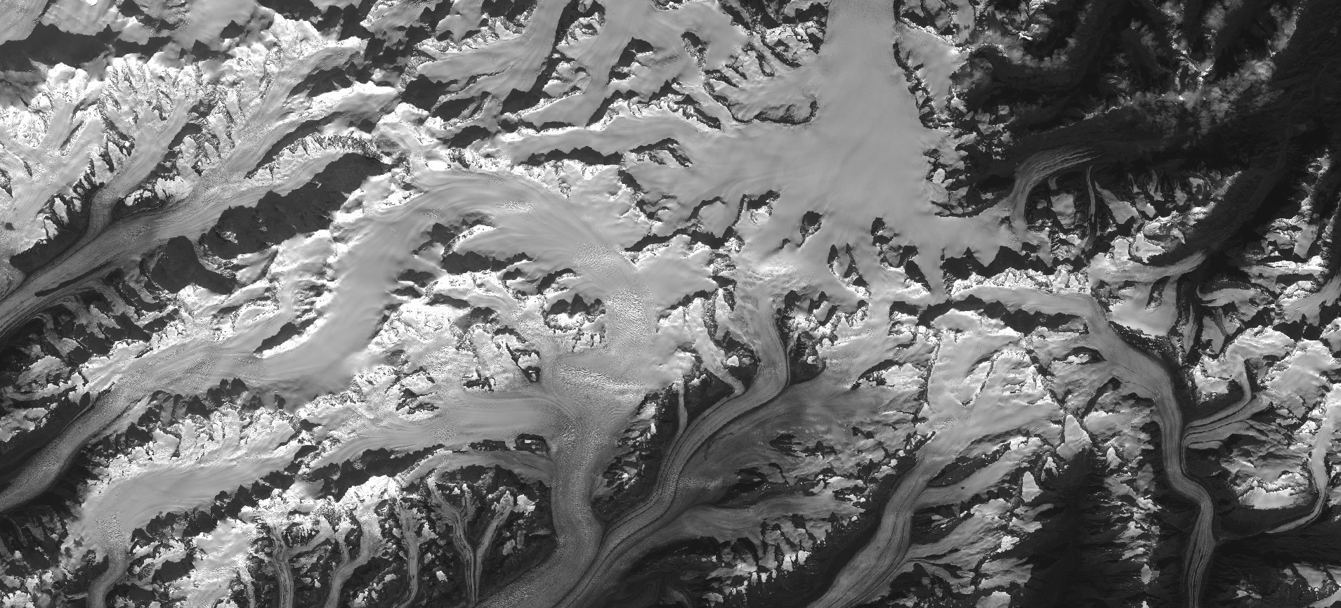
DOI Metadata Identifier DOI : N.A DataCite Metadata HTML, XML License Description Les produits de désaliasing ERA-Interim/TUGO fournissent le potentiel gravitationnel 3D variable dans le temps, lié aux masses atmosphériques […]
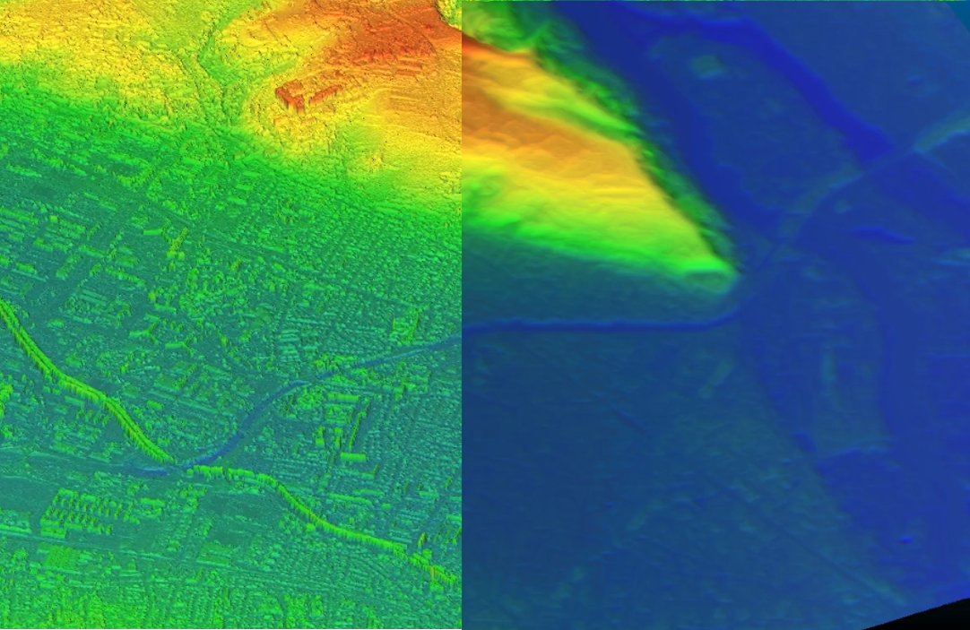
Bulldozer est un outil permettant de générer des Modèles Numériques de Terrain (MNT) à partir de Modèles Numérique de Surface (MNS) comme ceux générés par CARS. Ce produit a pour objectif de modéliser le sol en […]
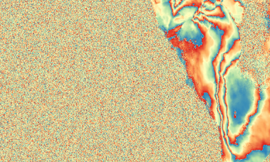
L’outil INFERNO offre la possibilité de produire une série temporelle d’interférogrammes en utilisant les données radar à synthèse d’ouverture issues de Sentinel-1. Cette chaîne de traitement inclut le téléchargement des […]
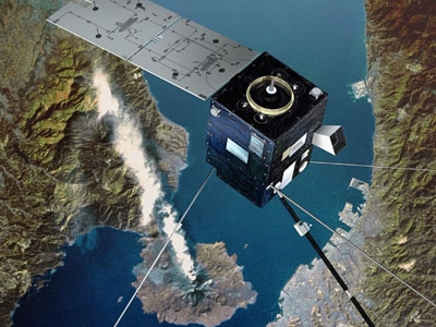
Lancé en 2004, le satellite DEMETER a observé pendant plus de 6 ans les signaux électriques et magnétiques dans l’ionosphère de la Terre. A la clé : plus de 300 publications […]
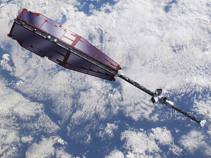
Depuis 2013, une constellation de 3 satellites européens explorent les sources du champ magnétique terrestre, réalisant l’étude la plus détaillée jamais entreprise dans ce domaine. Mission Lancement Instruments Durée de […]

QUANTICA Occitanie vise à quantifier le stockage additionnel de carbone dans les sols agricoles, un levier essentiel pour réduire les émissions de gaz à effet de serre. Le projet est […]