
Bienvenue sur le portail des données spatiales Observation de la Terre du CNES au service de la Science et de l’Innovation !
Welcome to the CNES Earth Observation spatial data portal serving Science and Innovation !

Earth Observation News
AVAILABLE ON GEODES
- Keep up with news related to CNES’s Earth Observation activities and contributions
- Discover the world of Earth Observation to better understand the technologies that enable us to observe our beautiful and fragile planet, and how to exploit and use satellite data
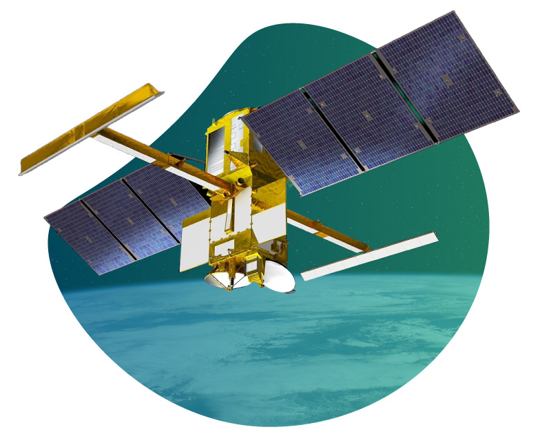
- Access the Earth Observation spatial data from CNES and the European Copernicus program (Sentinel satellites)
- For advanced users: access interactive processing functionalities, on-demand processing

NEWS
EARTH OBSERVATION

DATA
ACCES FOR ALL

INNOVATION
TRAITEMENTS PROCESSING (DATALABS)

SUPPORT
FOR maturation PROJECTS
Les services GDH
SERVICES FOR ALL
SERVICES FOR COMMUNITIES
ADVANCED SERVICES

- Data discovery and search
- PValue-added portals
- Data visualization
- Data download
- On-demand, interactive, and advanced processing
- Support, maturation
- Knowledge management
- Inter-center data exchanges

- Catalog and data management
- Reporting
- Quota management
- Hypervision
Upcoming events
Incident
Journal Opérationnel
Téléchargements post-restauration perturbés : Request Failed – Ressource not Found
Certains utilisateurs nous ont remonté un bug qu’ils pouvaient rencontrer affichant un bandeau qui indique “Request Failed – Ressource not Found” lors d’une tentative de téléchargement d’un produit à la […]
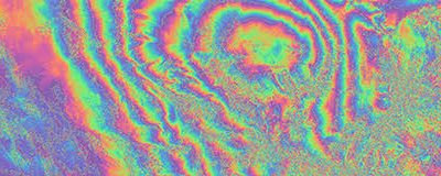
MDIS-FormaTerre 2026 – Mesure des déformations de la surface terrestre par imagerie satellitaire
Description Organisée conjointement par OTELo et European Center for Geodynamics and Seismology, l’édition 2026 de MDIS réunira la communauté scientifique travaillant sur la mesure des déformations de la surface terrestre […]

GeoDataDays 2026 – Journées nationales géonumériques de AFIGÉO
Événement national de référence pour la filière géonumérique, les GeoDataDays rassemblent l’ensemble de l’écosystème de la donnée géographique : acteurs publics, privés, chercheurs et décideurs. Cette 9ᵉ édition mettra en […]