
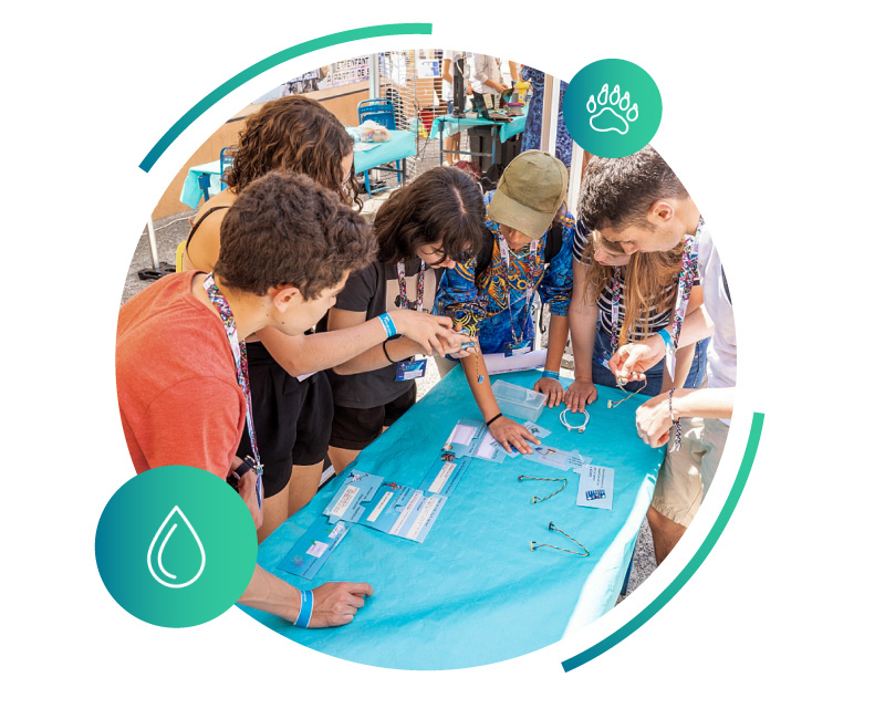
Argonautica
This project combines Earth observation and telecommunications.
The three Argonautica programmes (Argocéan, Argohydro, and Argonimaux) enable students to study oceans, marine animals, the water cycle, and climate using both in-situ and satellite data.
Contact : Estelle Raynal
© CNES / LARRIEU-LACOSTE Sandrine
© Planète Sciences / DEVOYON Jeremy
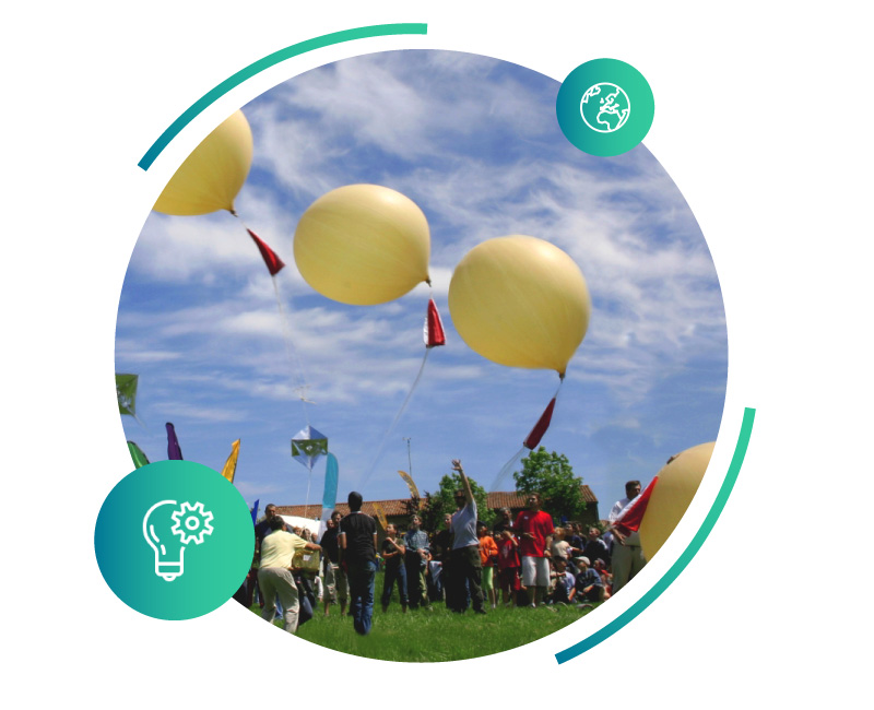
Experimental Balloon (post-secondary) & A Balloon for Schools (pre-secondary)
These two projects allow experiments built in the classroom to be flown into the upper atmosphere. They are carried out in partnership with Planète Sciences.
Contact : Angélique Gaudel-Vacaresse (pre-secondary) & Damien De Seze (post-secondary)
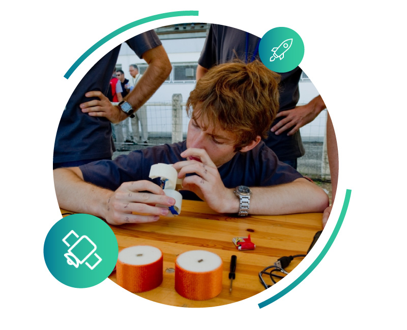
Cansat
The CanSat project offers high-school and university students an activity consisting of designing an autonomous device — a satellite the size of a soda can — released from an altitude of 150 metres and capable of performing a technical or scientific mission.
This workshop is organised in partnership with the ESA for pre-secondary students and with Planète Sciences for post-secondary students.
Contact : Damien De Seze
© CNES / M. Pedoussaut
© CNES
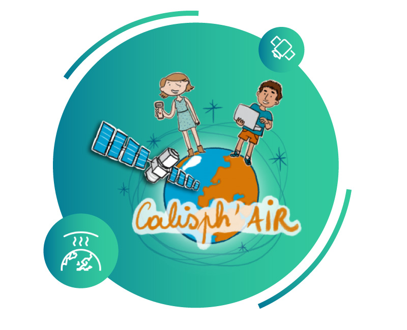
Calisph’Air
The Light Pollution project, part of the Calisph’Air educational programme, introduces students to this phenomenon — from its sources to its impacts on biodiversity — including its characterisation using measurement systems and satellite imagery.
Contact : Estelle Raynal
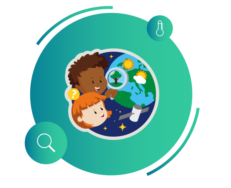
Climate Detectives
Project carried out in partnership with the ESA.
Students explore the causes and local impacts of climate disruption, then develop their scientific and technical skills by using in-situ and space-based data.
In the classroom, students frame their observations and share their results with the ESA “Climate Detectives” community. It is a local investigation conducted on a European scale.
Contact : Angélique Gaudel-Vacaresse
© ESA
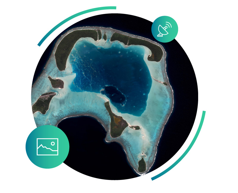
© CNES / Geoimage.cnes.fr
Geoimage
The objective of this project is to provide open access to satellite images acquired by CNES.
These high-definition images cover France and the world and were obtained using the Pléiades, SPOT, Sentinel, and Venµs satellites. They are systematically accompanied by a scientific briefing that provides context and enables the most effective use possible by non-specialists.
Contact : Pierre Ferrand
Educational Infographics
Produced in partnership with the engaged media outlet QQF (Qu’est-ce qu’on fait ?!)
Can albatrosses become the new patrol guardians of the oceans? Can endangered species be protected from space? What do elephant seals teach us about climate change? From the agriculture of the future to monitored forests and a planet increasingly exposed to flooding, these infographics explore major environmental questions and reveal how satellites help us better understand and protect Earth every day.
© CNES