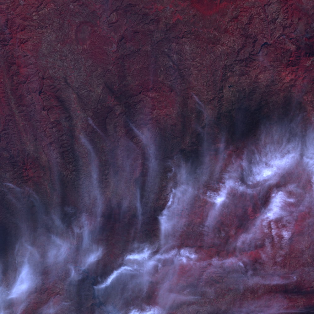
SWH Spot5 Level 1A
Le produit SWH 1A correspond au produit historique SPOT scène 1A au format DIMAP (GeoTIFF + métadonnées XML). Il s’agit du premier produit image avec une correction radiométrique qui égalise […]

Le produit SWH 1A correspond au produit historique SPOT scène 1A au format DIMAP (GeoTIFF + métadonnées XML). Il s’agit du premier produit image avec une correction radiométrique qui égalise […]

Le produit SWH 1A correspond au produit historique SPOT scène 1A au format DIMAP (GeoTIFF + métadonnées XML). Il s’agit du premier produit image avec une correction radiométrique qui égalise […]

Le produit SWH 1A correspond au produit historique SPOT scène 1A au format DIMAP (GeoTIFF + métadonnées XML). Il s’agit du premier produit image avec une correction radiométrique qui égalise […]

Sentinel-1 Level-1 products are the baseline products for the majority of users from which higher levels are derived. From data in each acquisition mode, the Instrument Processing Facility (IPF) generates […]

The main objective of the Sentinel-3 mission is to measuresea surface topography, sea and land surface temperature, and ocean and land surface colour with high accuracy and reliability to support […]