
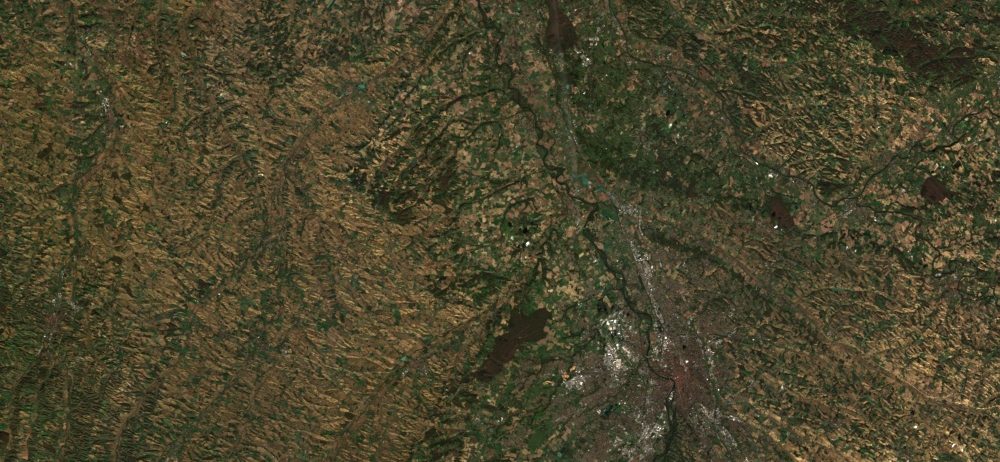
Sentinel-2 Level 2A
The level 2A products correct the data for atmospheric effects and detect the clouds and their shadows.
Data is processed by MAJA for THEIA land data center
Plus d’informations
https://www.cesbio.cnrs.fr/multitemp/sentinel-2/theias-sentinel-2-l2a-product-format/#English
Caractéristiques
| Type de jeu de données | Level 2A | |
| Format | Geotiff | |
| Licence | ||
| Début de production | 2016 | |
| Fin de production | N/A | |
| Emprise géographique | -150,-49 : 169, 74 | |
| Type d’emprise | 110×110 km tile in cartographic geometry (UTM/WGS84 projection) | |
| Résolution spatiale | – 10 m (bands B2, B3, B4, B8) – 20 m (bands B5, B6, B7, B8A, B11 et B12) | |
| Résolution temporelle | According to S2 constellation,5 days | |
| Mission(s) | Sentinel-2 | |
| Instrument(s) / Capteur(s) | MSI | |
| Métadonnées DataCite | N/A | |
| DOI |